


Beryl’s Record-Breaking Impact
Beryl’s Record-Breaking Impact and Track: What’s Known & Unknown
Hurricane Beryl has been making headlines with its unprecedented strength and rapid intensification. As it continues its journey across the western Caribbean, here’s what we know so far:
Current Path and Impact
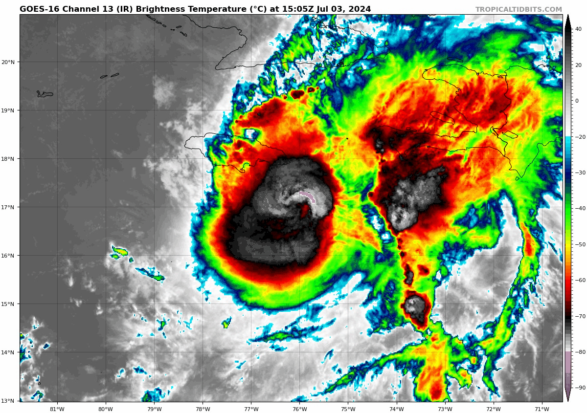
Beryl is expected to move across the western Caribbean, hitting Jamaica on Wednesday. By Friday, it may still be a major hurricane or at least a strong Category 2 hurricane as it nears southeast Mexico. The Yucatán Peninsula should prepare for a potential Category 3 hurricane, as intensity models have been underperforming.
Despite battling dry air and wind shear over the western Caribbean, Beryl remains a powerful system. Jamaica is currently facing a life-threatening storm surge that will affect the island all day Wednesday. The Cayman Islands are expected to feel the impact on Thursday, with landfall along the southeastern coast of the Yucatán Peninsula likely on Friday.
Beryl’s Record-Breaking Feats
Beryl has set multiple records since its formation:
- The farthest-east hurricane to form in June.
- The first-ever Category 4 hurricane on record for June.
- The earliest Category 4 hurricane in the Atlantic.
- The earliest Category 5 hurricane in the Atlantic, beating the previous record by two weeks (Emily 2005).
- The strongest hurricane to cross the Windward Islands.
- The fastest rapid intensification of any hurricane before September 1.
These records are largely due to the exceptionally warm waters, which have fueled Beryl’s rapid intensification. Water temperatures have been running around 2.5°C (4.5°F) above average, more typical of mid-September conditions.

Hurricane Beryl at 29.7°N – 95.7°W
What’s Next for Beryl?
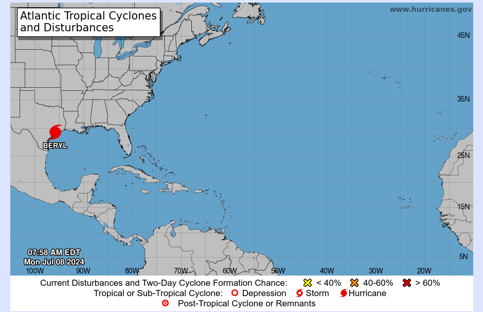
Beryl is set to slam Jamaica on Wednesday, the Cayman Islands on Thursday, and reach the southeastern coast of the Yucatán Peninsula by Friday morning. The National Hurricane Center forecasts Beryl to emerge over the southern Gulf of Mexico as a tropical storm, but with warm Gulf waters, re-strengthening is possible. Beryl could regain hurricane status by Saturday, nearing the northeastern coast of Mexico on Monday.
Potential Changes and Warnings
The long-term track could still change. Residents along the Texas coast need to monitor Beryl closely. Even if Beryl stays on its current forecast track, its growth could increase the risk of storm surge along the Texas coast, similar to Hurricane Alberto a few weeks ago. The true conditions of Beryl over the Gulf of Mexico on Saturday will provide a clearer picture of a potential U.S. impact. South Texas residents should prepare for heavy rains and storm surge, while southeast Texas residents should keep a close watch.
Angela Small
Radio Production Assistant


