Revolutionizing Coastal Resilience: USF’s $1.5 Million App to Predict Flooding Risks
ST. PETERSBURG, Fla.—Researchers at the University of South Florida in St. Petersburg have secured a $1.5 million grant from the National Science Foundation to develop a new app aimed at identifying flooding risks in coastal communities. The app, known as “CRIS-HAZARD,” will be web-based and will gather data on flooding risks.
Over the next three years, Professor Barnali Dixon, a Remote Sensing expert at USF St. Pete, will lead the research team in creating this innovative application. The app will combine volunteered geographic information, community crowdsourced data (including photos and videos), and nearly real-time flooding data. It will utilize dynamic modeling, mapping tools, and artificial intelligence to generate estimated water elevation models, which will be valuable for informing emergency managers.
Dixon emphasized the importance of data in crafting tailored policies for individual communities. She stated, “To develop a custom policy that meets the needs of each unique community, you need to know the data. The power of this system is that it allows us to see the needs of these communities on a very granular scale, so you can then put policies in place.”
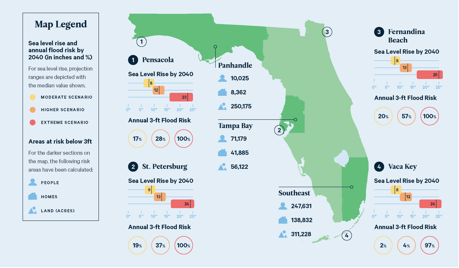
The app is an expansion of the Community Resiliency Information System, a web-based platform established in 2020. This existing platform enables residents to input information about various issues, including flooding and power outages, which can then be used by policymakers and neighborhood leaders for decision-making. It also provides information on storm surge risk levels and sea level rise.
Emergency managers can use this data to identify areas where transportation assistance is required or where residents with medical needs are without power.
The research team plans to collaborate with community partners in St. Petersburg’s Childs Park and expand their efforts to other coastal communities in Pinellas County, including Shore Acres, West and East Lealman, and Bahama Shores. Additionally, Georgia Tech will contribute to the app’s development by incorporating input from community members and emergency management experts.
This innovative app has the potential to enhance community resilience and decision-making in the face of climate-related challenges, such as sea level rise and coastal flooding. For more information on the “CRIS-HAZARD” app, you can click here.
Angela Small
Radio Production Assistant


