Bay County Evacuations due to Wildfires
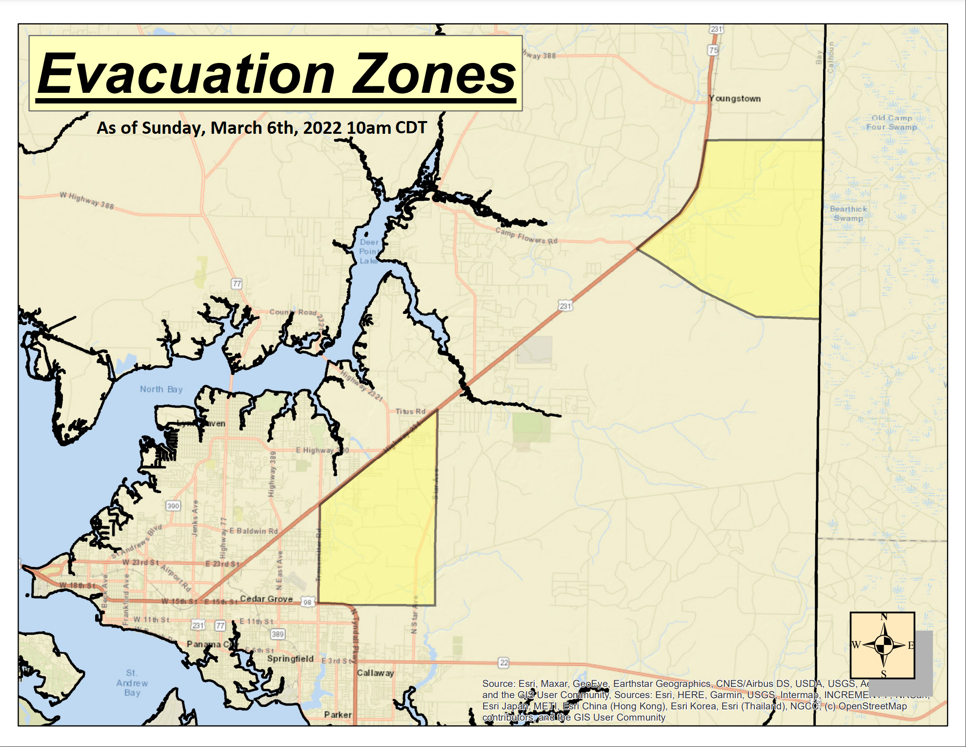
Panama City, Florida – The map below was released by Bay County at 10am CDT Sunday morning outlying the current locations under mandatory evacuations. There was no change from Saturday evening at this time, however officials say this could change as the winds are forecasted to increase through the day.
Key Points:
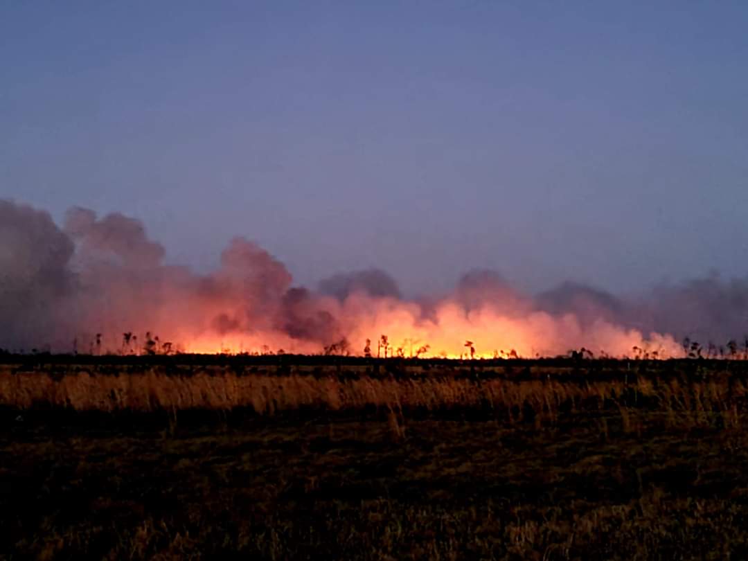
- The Adkins Avenue Fire is 1,400 acres and 35% contained.
- The Bertha Swamp Road Fire is 8,000 acres and 10% contained.
- The weather conditions today will be similar to yesterday. The strong winds will pose some challenges to our teams on the ground.
- First Responders from all over the state have been arriving throughout the night. Our priorities are protecting lives and property. We are working hard to protect your homes.
- The Mandatory Evacuation areas (map below, Yellow Shaded Areas) remain the same and defined as:
- – Area between Transmitter Rd. and Star Ave. and south of Hwy 231 to U.S. 98 (Tyndall Pkwy.)
- – Bear Creek, area south of Scotts Ferry Rd. and east of Hwy 231.
- The Bay County Fairgrounds has been established as a shelter for evacuees and their pets


