Florida Spared a Significant Strike During the 2019 Hurricane Season
Gainesville, Florida – The last six months were filled with multiple threats and one very close catastrophe, but Floridians can now breathe a collective sigh of relief that the 2019 Atlantic Hurricane Season is over.
A total of 18 named storms, six hurricanes, and three major hurricanes formed across the Atlantic Basin, making 2019 the fourth consecutive year with above normal activity. There were no official landfalls from a tropical storm or hurricane in Florida, although Nestor came ashore near St. Vincent Island on Oct. 19 as a “post-tropical cyclone”.
The most memorable storm of the 2019 season was Hurricane Dorian, a name almost certain to be retired. The catastrophic category five monster taunted Floridians for days as it crawled through the Bahamas. Its fatal eye wall then passed less than 100 miles from the Atlantic Coast, before it turned north and only grazing Florida with its destructive power.
There have been no reports of direct fatalities from tropical storms or hurricanes this year in Florida. However, there were indirect deaths from rip currents in the Florida Panhandle and during preparations for Hurricane Dorian along the Space Coast.
The season was considered more active than normal by both the number of storms and the total energy they produced. According to the Colorado State University Department of Atmospheric Science, 130 there were units of Accumulated Cyclone Energy (ACE) this year, far above the 30-year average of 104.
Summary of Events
Subtropical storm Andrea formed in late May, making 2019 the 5th consecutive year that a tropical or subtropical cyclone has formed before the official start of hurricane season. The system remained organized for little more than one day and remained out to sea, over the Atlantic east of the Bahamas.
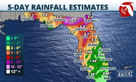
It wasn’t until over a month later that Barry, the second named storm of the season, began to form. Unlike the majority of tropical systems that form over water, Barry’s development was initiated by low pressure centered hundreds of miles inland over the Lower Mississippi Valley. The low slipped south and east through Florida’s panhandle and into the Gulf of Mexico. It wasn’t until the system was over warm gulf waters that it intensified and eventually strengthened into a Category 1 hurricane. Barry remained west of Florida, and the majority of the peninsula was unimpacted by the storm. However, heavy rains from Barry’s outer bands did rotate inland over the central and western Panhandle. Rainfall totals from Barry approached 4 inches near Pensacola near Pensacola.
The middle of July and most of August were quiet. Tropical Storm Chantal was the only named system to form and it remained out to sea.
By the end of August, the Atlantic had suddenly become active. The lack of prior activity had limited upwelling and allowed sea surface temperatures to remain well above 80 degrees. This, combined with a decrease in winds aloft, made for ideal breeding grounds for an active couple of weeks in the tropics.
On August 24th, a tropical wave in the Central Atlantic had gained enough organization to be classified as a Topical Depression, then quickly strengthen into a Tropical Storm later that day. The system was named Dorian.
Dorian continued on a northwesterly track and strengthened into a Category 1 Hurricane after passing just east of Puerto Rico August 28th. The storm steadily intensified into a Major Hurricane north of Puerto Rico, then turned west, taking aim at The Bahamas and the State of Florida. Mandatory evacuations were issued along the Atlantic Coast from Palm Beach to Nassau Counties. In addition, several airports and universities closed in anticipation of traveling challenges surrounding the Labor Day holiday.
Member station WLRN has done extensive reporting on the extensive damage Dorian did to The Bahamas.
Thankfully for Floridians, the high pressure ridge that was directing Dorian west weakened, which allowed the catastrophic hurricane to turn north and spare Florida a direct hit. A minor storm surge, coastal flooding, and significant beach erosion were reported from West Palm Beach to Jacksonville. However, there were only isolated reports of wind damage and inland flooding.
Nine more systems, ranging in strength from weak tropical storms to major hurricanes formed between early September and mid-October, none of which were a threat to Florida.
Tropical Storm Nestor was the only other storm to affect Florida. It formed in the Gulf of Mexico on Oct. 18 then weakened to a post tropical cyclone before making landfall near Apalachicola one day later. Nestor was arguably the most impactful system for the rest of Florida (not affected by Dorian) this season. Widespread rainfall accumulations of 1 to 4 inches fell from the Panhandle to Central and Southern Florida, and minor storm surge flooding occurred along the Gulf Coast from Florida’s Big Bend to the Nature Coast. Nestor’s outer rain bands also spawned three tornadoes in West-Central Florida. One of the tornadoes was rated an EF2 and was on the ground for nine miles near Lakeland.
The remainder of the hurricane season was quiet for Florida, with Olga, Pablo, Rebekah, and Sebastien remaining well removed from the state.
Story by FPREN Meteorologist Jeff Huffman
