Heavy Rain Likely in North Florida from Stalling Front
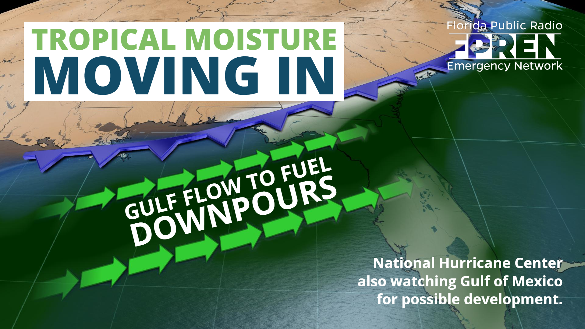
Gainesville, Florida – The season’s third tropical depression formed late Monday afternoon, but an approaching front is turning it northward and caused it to weaken, sparing Florida many of its direct effects.
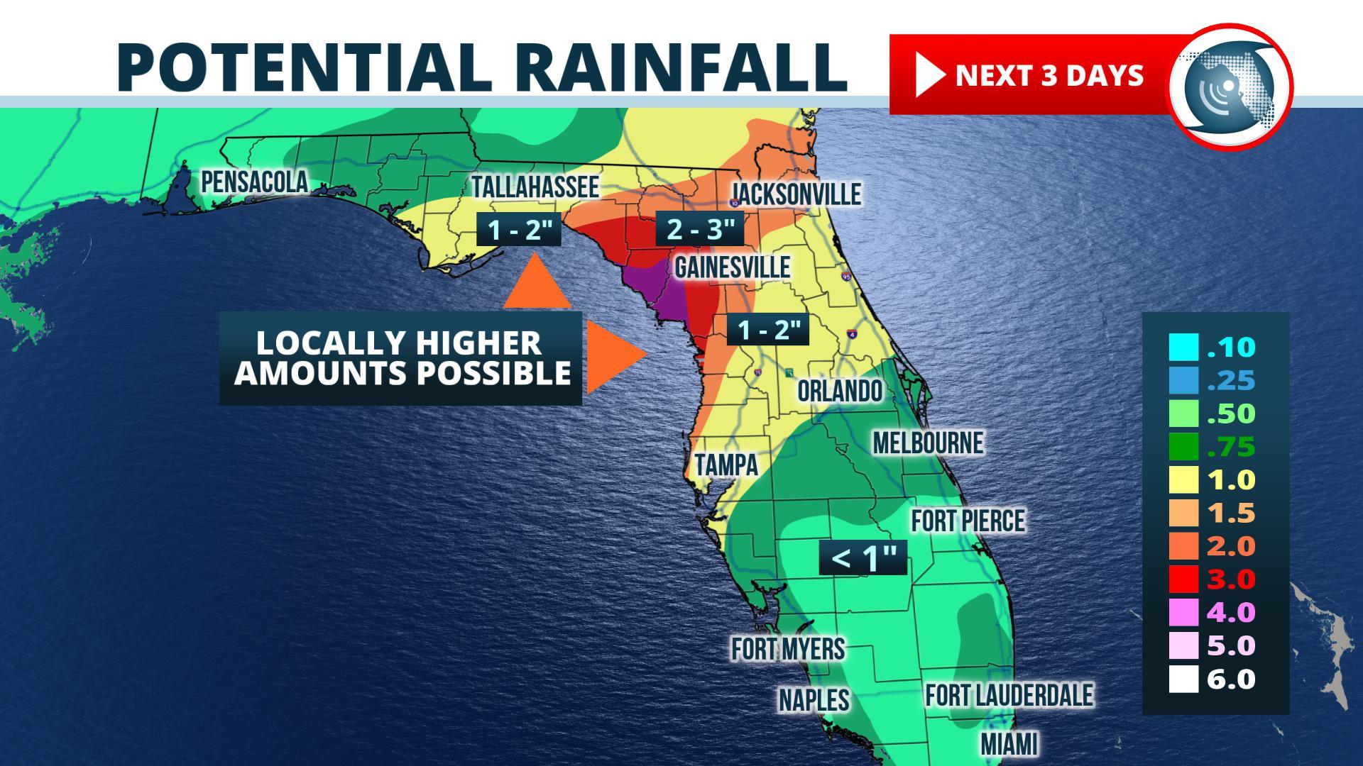
The approaching front itself; however, will be responsible for unsettled weather conditions over a large portion of the state. Scattered thunderstorms should become more widespread over the Florida Panhandle Tuesday afternoon as the front moves in from neighboring Alabama. NOAA’s Weather Prediction Center has issued a “slight risk” of flash flooding for the Pensacola, Crestview, and Marianna areas in anticipation of heavy rain from some of these thunderstorms. Its official forecast — which normally represents an area-wide average — is showing anywhere from one-half inch to 1.5 inches of rain. Its technical forecast discussion also makes mention of high probabilities of 2 to 3 inches or more of rain in a few places from a blend of high-resolution model forecasts. Normally, the Weather Prediction Center issues a slight risk when pockets of flash flooding are expected, but with greater uncertainty in the exact location of occurrence.
Bands of widespread rain and thunderstorms are likely, primarily over the central and northern portions of the Florida Peninsula on Wednesday and Thursday, as the front stalls. NOAA has issued a “marginal risk” — its lowest risk area — for the potential for isolated flash flooding in areas where stronger thunderstorms train over the same areas. The marginal risk area covers the Jacksonville and Gainesville metropolitan areas and extends to near Tallahassee on the western edge. Widespread rainfall amounts of 1 to 1.5 inches are forecast in these areas, with the potential of up to 2.5 inches in a few locations near the Nature coast.
Southeast Florida, including Miami, West Palm Beach, and Key West, will have a chance of scattered thunderstorms, but the front is expected to have the least impact compared to areas farther north.
Occasionally, stalling fronts in the northeastern Gulf of Mexico in July can cause tropical development. The National Hurricane Center says a non-tropical low could form late Wednesday or Thursday in the northern Gulf of Mexico. Forecasters there say there’s a 20% chance for the low to become tropical or subtropical toward the upcoming weekend. At this time, most of the reliable global models do not forecast significant tropical development, but residents should be aware that sometimes tropical systems can form in these situations.
Meteorologist Megan Borowski contributed to this story. WKGC is a FPREN station in NW Florida.
